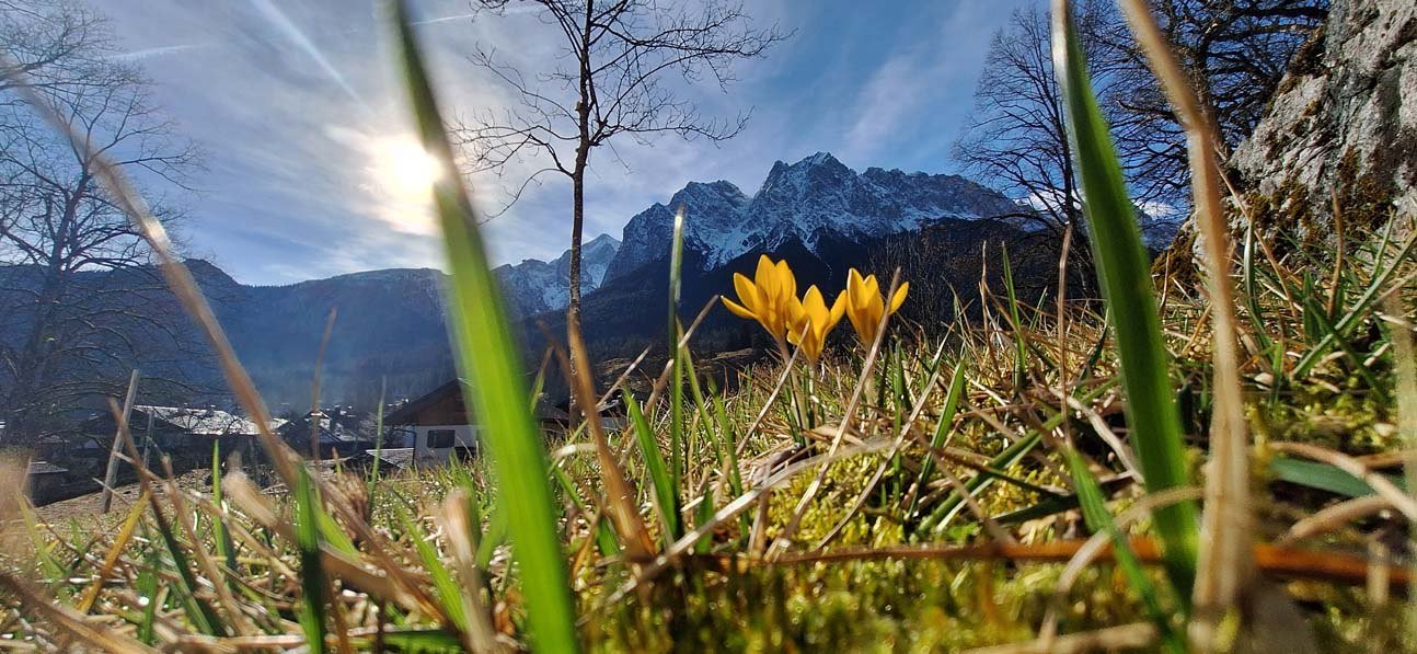
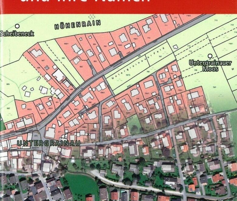
Flurnamenweg
Starting point:
Felsen am Rathaus im Grainauer Kurpark
- Ending point:Eibsee


Felsen am Rathaus im Grainauer Kurpark
- Ending point:Eibsee
Höhenprofil

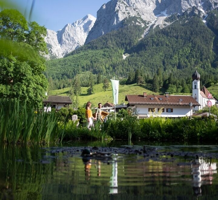
Vom Grainauer Kurhaus über den Höhenrain und Zierwald zum Eibsee - das Begleitheft erhalten Sie in der Touristinformation
Gepflegte Wanderwege, im Winter geräumt<, p>