Von Garmisch-Partenkirchen in die Eng
Starting point:
Ending point:
Bahnhof in Garmisch-Partenkirchen
-Ending point:


Bahnhof in Garmisch-Partenkirchen
-Höhenprofil

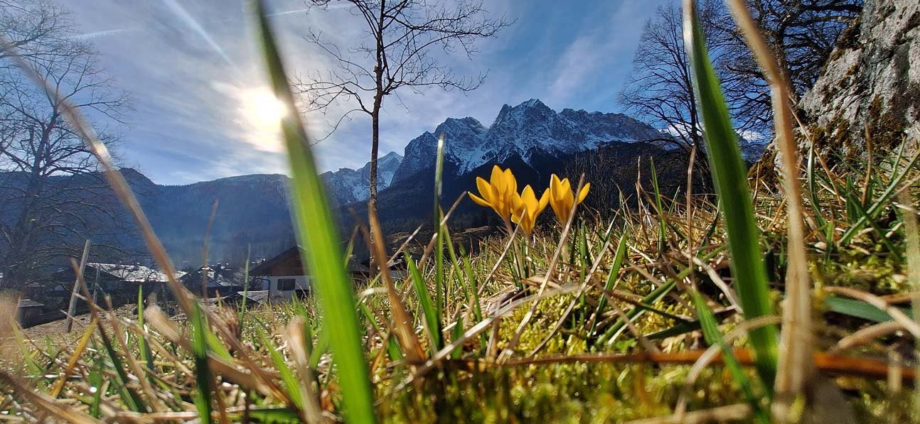
Die Tour in die Eng ist landschaftlich äußerst abwechslungsreich und beeindruckend. Zunächst geht es auf der B2 und B11 bis Wallgau, hier ein kurzer Stich und dann meist leicht bergab bis Vorderriß. Die Straße bis zum Talabschluss und Wendepunkt am Alpengasthof Eng steigt immer leicht an und kann - vor allem am Wochenende - stark frequentiert sein.
Eine detaillierte Tourenbeschreibung findest du im "PDF Druck" weiter oben.
Am Bahnhof wendest du dich nach rechts, über den Taxiparkplatz zur Lagerhausstraße. Diese mündet in die Gehfeldstraße. Nach circa 200 m an der Wegegabelung links die Kohlstattstraße zur Schornstraße. Nach ca. weiteren 200 m rechts in die Fritz-Müller-Straße abbiegen und dieser bis zu querenden Gleisen folgen. Von dort nach links in die Wildenauer Straße bis zur Mittenwalder Straße, die du überqueren musst. Auf der linken Seite beginnt ein Radweg, der bis zur Abzweigung Pfeifferalm/Schlattan bergauf, dann aber bis Kaltenbrunn abwärts geht. Hier in einem Tunnel die Straße unterqueren und auf der rechten Seite immer auf dem Radweg bleiben. Ab Gerold musst du leider auf der B2 nach Klais fahren. Ab hier kannst du dann größtenteils wieder einen Radweg nach Krün nutzen. In Krün dann links nach Wallgau. Jetzt folgt ein erster Test - es geht steil bergauf und bei dem Schild "Vorderriß/Sylvensteinsee" rechts abbiegen. Du kannst dich jetzt auf eine abwechslungsreiche weitere Radtour (Isar-Radweg) freuen, denn es geht bis Vorderriß ständig bergauf und bergab. In Vorderriß (782 m) fährst du rechts weiter nach Hinterriß (Großer Ahornboden/Eng). Jetzt wirst du vermutlich immer einen kleineren Gang auflegen. Die Tour geht nun mehr bergauf als bergab und meist am Rissbach entlang. Beim Herzoglichen Alpenhof fährst du an einer Mautstelle vorbei, die von Radfahrern kostenlos passiert werden darf. Das Ziel ist der Alpengasthof Eng (1203 m). Hier ist Halbzeit und lädt zu einer "echten" Brotzeit ein, denn du brauchst Kraft für die Rückfahrt. Der Große Ahornboden mit seinen berühmten Ahornbäumen, umgeben von hohen Bergen, lädt dich unter schattigen Bäumen zu einer Brotzeit ein. Wenn deine Reserven aufgetankt sind, kann die Rückfahrt beginnen, die auf dem gleichen Weg - nun bis Vorderriß fast immer mit leichtem Tritt bergab geht. In Vorderriß (782 m) die Kurve nach links - Richtung Wallgau (866 m) - fahren. Der Höhenunterschied ist nicht groß, aber stetig steigt die Straße bis Wallgau an. Wieder bis nach Krün, rechts ab und über Bärnbichl, Barmsee nach Klais. Kurz die B2 entlang und bei Gerold kannst du wieder den Radweg bis Garmisch-Partenkirchen nutzen. Auf dem letzten Gefälle nach Garmisch-Partenkirchen sieht man das Tourende nahen und lässt es rollen. Unten, kurz nach dem Ortsschild wieder die Straße überqueren, die Wildenauer Straße entlang bis zu den Gleisen. Das Ausrollen über die Fritz-Müller-Straße, Schornstraße, Kohlstattstraße und Lagerhausstraße zum Bahnhof rundet die ganze Tour ab.