Von Garmisch-Partenkirchen über den Reschberg nach Ettal
Starting point:
Ending point:
Bahnhof Garmisch-Partenkirchen
-Ending point:


Bahnhof Garmisch-Partenkirchen
-Höhenprofil


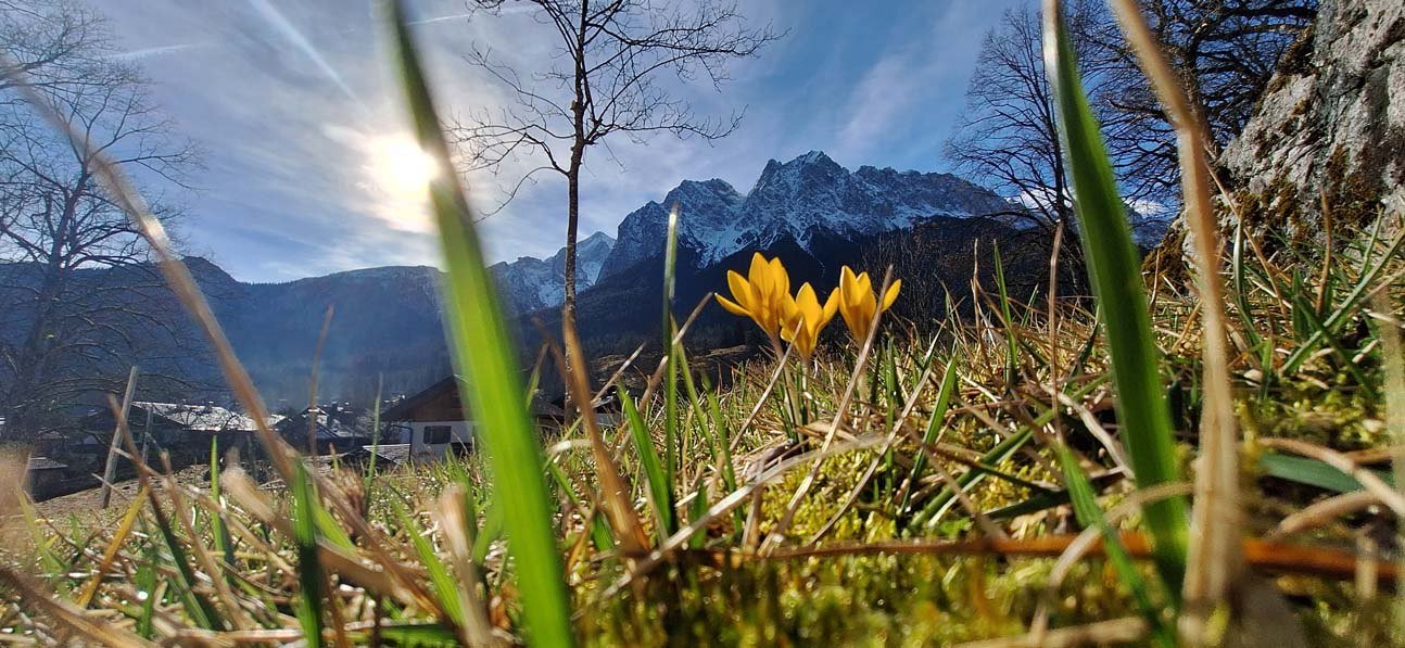
Bei der Auffahrt dieser Tour befindest du dich auf einer der beliebtesten Mountainbike-Routen im Werdenfelser Land. An der Abzweigung zum Gießenbacher Weg beginnt die eigentliche "Mountainbiketour" mit sehr steiler Auffahrt und Trail hinab zum Gießenbach mit Tragestrecke. Später folgt ein gemütliches Ausrollen nach einer kleinen Abfahrt in Oberau bis zum Ausgangspunkt.
Eine detaillierte Tourenbeschreibung findest du im "PDF Druck" weiter oben.
Vom Bahnhof am Reisebüro vorbei, bei der Von-Brug-Straße links und danach die Parkstraße bis zur Loisachbrücke. über die Loisachbrücke drüber und immer auf der rechten Seite dem Radweg entlang bis zu einer Fußgängerampel. Hier die Straße überqueren und bei der nächsten Abzweigung nach links bis Burgrain radeln. Hindurch bis zum Ortsende Burgrain und an der letzten Straße links hochfahren bis zum Parkplatz am Waldrand. Hier ist der eigentliche Start zu diesem knackigen Kurztrip. Zunächst nehmen wir den Forstweg in Richtung Reschbergwiesen und es geht durch Waldhänge weiter noch oben bis zum Gießenbacher Weg (ca. 5,3 km). Hier trennen sich die Wege zum allgemeinen Biker-Verkehr. Rechts auf den bald steil bergauf führenden Weg "Notkarspitze, Gießenbacher Weg" abzweigen und am höchsten Punkt geradeaus Richtung Ettal bleiben. Nach kurzem Weg rechts abschüssig immer Richtung "Ettal" folgen. Bei dem in Richtung "Oberau" führenden Pfad das Rad tragen und nach links Richtung "Ettal" steil bergab der Pfadspur bis zum Talgrund folgen. Wieder folgt ein 10 min. Fußweg, bis ein fahrbarer Weg beginnt. Am Wegdreieck oberhalb der B23 rechts halten zum Ettaler Sattel. Du triffst auf die Bundesstraße (links geht es nach Ettal), fährst nach rechts die Straße runter und biegst nach ca. 450 m rechts in einen Schotterweg der nach Oberau führt. In Oberau durch den Ort hindurch, vorbei am Bahnhof auf den Radlweg in Richtung Garmisch-Partenkirchen. Der Weg führt an der Loisach entlang bis nach Farchant, weiter nach Burgrain und zurück zum Bahnhof nach Garmisch-Partenkirchen.