Gelbes Gwänd - Stepbergalm - Hohe Ziegspitze
Starting point:
Ending point:
Parkplatz am Herrgottschrofen
-Ending point:
Parkplatz am Herrgottschrofen


Parkplatz am Herrgottschrofen
-Parkplatz am Herrgottschrofen
Höhenprofil


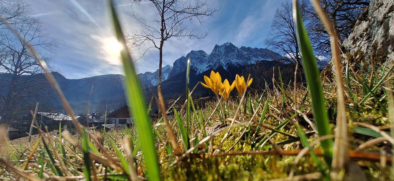
Startpunkt der Wanderung ist an der Kanuhütte in Grainau, die sich an der Griesener Straße gegenüber der Ortseinfahrt nach Untergrainau befindet. Von dort aus geht es einige Meter entlang der Loisach flussaufwärts zu einer Brücke, welche man überqueren muss, um zum Herrgottschrofen zu gelangen. Hier bergan wandern, links halten und der Beschilderung Richtung Stepbergalm über den "gelben Gewänd-Steig" folgen. Zuerst geht es hinauf durch den Bergwald, bis sich dieser lichtet und man sich mitten im gelben Gewänd mit seinen markanten Farben befindet. Hier sind Schwindelfreiheit und Trittsicherheit gefragt. Über einige Stufen und Kehren geht es nun weiter bergauf, bevor man kurz nach einem Weidegatter die idyllische Stepbergalm erreicht. Hier kann nun eine Einkehr eingeplant werden, bevor es an der Weggabelung links weitergeht in Richtung "Hohe Ziegspitze". Immer diesem Fahrweg folgend passiert man erst eine kleine Diensthütte und erreicht später den Stepbergsattel. Hier nicht wieder hinunter gehen in Richtung Rotmoos-Alm, sondern links steil aufsteigen. Auch hier ist wieder Schwindelfreiheit und Trittsicherheit nötig. Nach ca. 200 Höhenmetern ist der steile Anstieg geschafft und nun wird der Weg gemäßigter. Das Gipfelkreuz der Hohen Ziegspitze (1864m) ist bereits sichtbar und wird bald, nach einem letzten kurzen Aufstieg über einfaches Wiesengelände, aber auch über felsiges Gelände erreicht. Der Abstieg erfolgt über den Aufstiegsweg.
steile Steige, gemäßigte Wiesen und Pfade, sowie Steige im felsigen Gelände. Trittischerheit und Schwindelfreiheit erforderlich!<, p>