Zur Enning-Alm
Starting point:
Ending point:
Bahnhof in Garmisch-Partenkirchen
-Ending point:


Bahnhof in Garmisch-Partenkirchen
-Höhenprofil


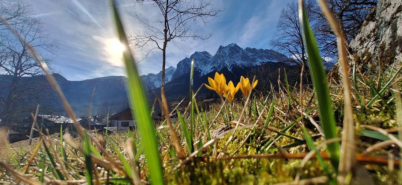
Vorbei am Pflegersee, mit herrlichen Aussichten auf Garmisch-Partenkirchen und die umliegenden Berge über die Reschbergwiesen, wo einst auch Bär Bruno vorbei kam, geht es hinauf zur Enning-Alm. Dort angekommen erwartet dich auf 1.544 Metern Höhe von Anfang Juli bis Mitte September ein besonderer Anblick: Grasende Jungrinder, Ziegen und Pferde tummeln sich gemeinsam auf saftigen Wiesen, eingebettet zwischen Felderkopf und Hirschbühel.
Eine detaillierte Tourenbeschreibung findest du im "PDF Druck" weiter oben.
Vom Parkplatz vor dem Haupteingang des Bahnhofs fährst du rechts am Reisebüro vorbei die Bahnhofstraße runter. An der Ampel fährst du links dann rechts in die Parkstraße. Folge dem Straßenverlauf bis zur großen Kreuzung. Hier geht es rechts die Burgstraße entlang. Nach etwa 500 m fährst du links in die Thomas-Knorr-Straße und folgst dem Richtungsschild "Pflegersee". Bald erreichst du eine übersichtstafel, an der du dich orientieren kannst. Am Pflegersee erwartet dich ein Gasthof und ein Badestrand. Am Westufer entlang fährst du weiter und folgst dem Richtungsschild "Reschbergwiesen / Enning-Alm". Auf dem gut ausgebauten Schotterweg nimmst du die nächste Steigung in Angriff. Nachdem du eine Klamm überquert hast, hast du zur Rechten erste Aussichtsmöglichkeiten auf das Loisachtal. Bald wird der Weg flacher und vor dir liegen die Reschbergwiesen. Hier befindest du dich auf knapp 870 m über dem Meeresspiegel, hast also die ersten 200 Höhenmeter bereits geschafft. An der großen Wegegabelung fährst du links weiter und folgst dem Fahrradschild in Richtung Enning-Alm. Bleibe nun auf der Forststraße, die bald merklich steiler wird. Den ersten der beiden längeren Anstiege hast du nun vor dir. Schließlich kommst du an einer kleinen Berghütte vorbei, vor der eine Bank und eine herrliche Aussicht auf Garmisch-Partenkirchen zu einer Verschnaufpause einladen. Die Hütte ist leider nicht bewirtet. Jetzt geht es an den zweiten, noch etwas steileren Anstieg. Es folgt eine kurze Abfahrt. Achtung, links taucht recht unvermittelt der Wegweiser zur Enning-Alm auf. Nun geht es rechts den Berg hinauf. Den sehr steilen Anstieg (mit Stufen) durch den Wald schiebst du das Rad besser. Oben lichtet sich der Wald und vor dir liegt die Enning-Alm. Auf demselben Weg gelangst du wieder ins Tal.