Hinauf zum Geroldsee
Starting point:
Ending point:
Bahnhof in Garmisch-Partenkirchen
-Ending point:


Bahnhof in Garmisch-Partenkirchen
-Höhenprofil


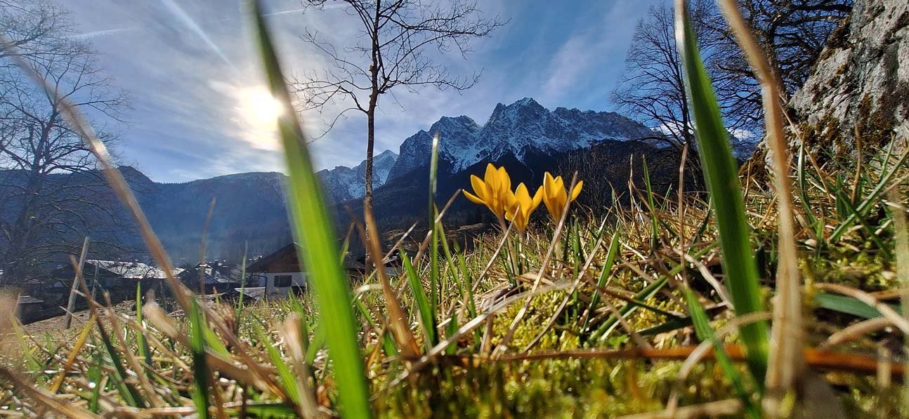
Hier ist nicht der Weg das Ziel sondern der Wagenbrüchsee, besser bekannt als Geroldsee. Einer der schönsten Moorseen in den Alpen. In der kleinen Gemeinde Gerold liegt der See inmitten von Wiesen und Wald, während sich hinter den Baumwipfeln majestätisch die Wettersteinkette und das Karwendel erheben, sogar das Zugspitzmassiv ist von der gemütlichen Liegewiese aus noch zu sehen.
Von Garmisch-Partenkirchen geht es am Radweg entlang der B2 bergauf bis nach Gerold, wer mehr Ruhe haben will, kann einen Teil der Strecke über das "Alte Gsteig" erklimmen. Hier ist es zwar herrlich ruhig, aber etwas steiler.
Eine detaillierte Tourenbeschreibung findest du im "PDF Druck" weiter oben.
Am Bahnhof wendest du dich nach rechts, über den Taxiparkplatz zur Lagerhausstraße. Diese mündet in die Gehfeldstraße. Nach circa 200 m an der Wegegabelung rechts. Am Ende der Kochelbergstraße überquerst du das Bahngleis und biegst links ab. Parallel zu den Gleisen geht es bis zum Skistadion. Von dort fährst du die Wildenauer Straße bis zur Hauptstraße. Wenn du die flachere Variante bevorzugst überquerst du die Straße und folgst rechts dem Radweg. Andernfalls überquerst du ebenfalls die Straße und fährst in die gegenüberliegende Straße hinauf zum Dorint Sporthotel. Am Hotelparkplatz hältst du dich links bis am Ende ein kleiner Waldweg beginnt. Er bringt dich direkt zur Dr.-Wigger-Straße. Folge dieser bergan bis zur Weggabelung. Hier fährst du nach links in die Gsteigstraße. Am Berggasthof "Schöne Aussicht" kannst du mit Blick auf die neue Skisprungschanze kurz verschnaufen. An der nächsten Wegkreuzung geht es rechts nach unten zum Radlweg an der Straße. Wer es wieder ruhiger mag, fährt links bergauf (nur ein kurzes Stück), dann zweimal rechts, vorbei am Höflebauer, weiter über die Wiesen bis am rechten Wegrand eine öffnung im Zaun den Weg nach Kaltenbrunn frei gibt. Hier gehts bergab durch Fichtenwald bis zum Radlweg an der B2. Nach dem Alpengasthof "Zum Schweizerbartl" gelangst du durch eine Unterführung auf die andere Straßenseite, wo sich der Radweg nur noch eben fortsetzt. Die Felder zu deiner Rechten sind im Winter ein beliebtes Langlaufgebiet. Nach einigen Kilometern weist ein Schild den Weg nach Gerold. Hier geht es nochmals durch eine Unterführung, dann ein kleines Stück bergauf. An der Wegkreuzung folgst du links der Straße, nach wenigen Metern führt ein Feldweg rechts bis zum See. Wer an das andere Ufer möchte, fährt einfach noch ein Stück weiter, und folgt dem nächsten Feldweg. Komfortabler ist wohl das letztere.